

WATCH: Moray and Aberdeenshire due for heavy snow thanks to Storm Christoph, says Met Office
Register for free to read more of the latest local news. It's easy and will only take a moment.

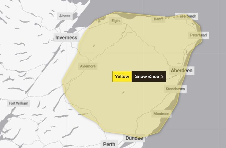
WIDESPREAD travel disruption is possible during “a period of disruptive snow” in Moray and Aberdeenshire, the Met Office has warned.
The forecaster has issued a yellow warning which will be in force from 3pm on Wednesday until midday on Thursday.
"A band of rain associated with Storm Christoph will push in from the northeast, turning readily to snow," said a spokesman.
"Snow accumulations of 10-15cm (4-6 inches) are possible at low levels, with 30-40cm (1ft-3.5ft) possible over the eastern Grampians.
"Strong winds will develop during the early hours of Thursday morning, increasing to gale force at times which may cause blizzards over hills and mountains.
"Wet snow at low levels may lead to icing on infrastructure, such as power lines. Cold temperatures to follow the snow, bringing a widespread ice potential over the area."
Those areas not covered by the alert may also see snowfalls, with wintry showers forecast in the Highlands on Thursday and Friday.