

More rain for Moray as Met Office issues fresh red warning for north east
Register for free to read more of the latest local news. It's easy and will only take a moment.

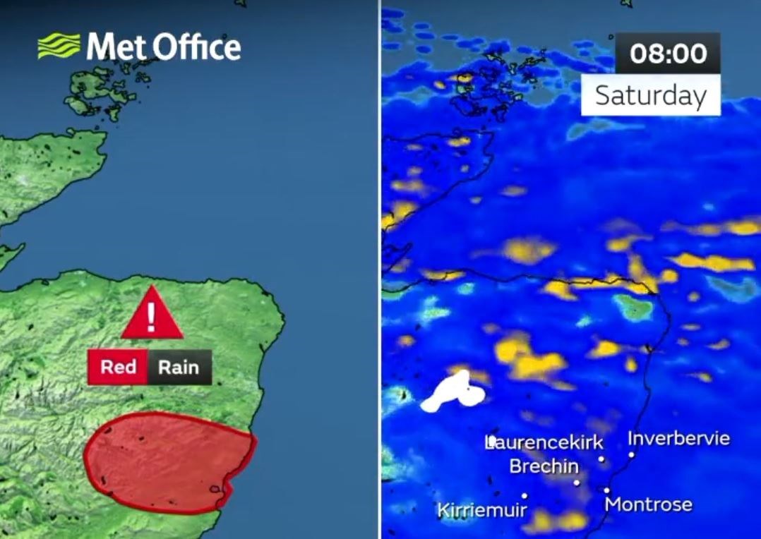
The Met Office says the wet and unsettled weather will continue tomorrow across Moray and large parts of the UK.
Earlier today it issued a new forecast that up to four inches of rain could fall on Saturday in parts of Aberdeenshire and Angus.
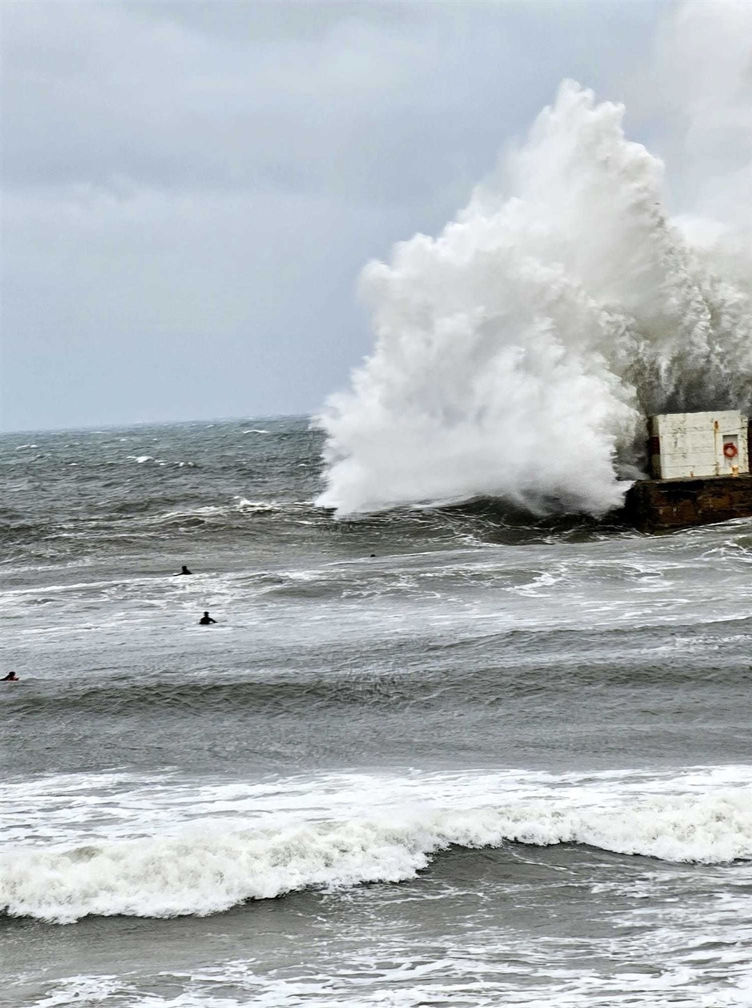
It also issued a second red warning for that area, following on from its first during Thursday when 300 properties in Brechin were evacuated.
The Met Office states that Sunday looks like being a quieter day but more heavy rain is forecast to return on Monday.
And that, says the Met Office, will set the scene for the rest of next week.

SEPA, the Scottish Environmental Protection Agency, has issued a flood warning for the River Spey all the way downstream from Rothes.
It said that agricultural land, low-lying properties and roads are all at risk of flooding.

Pascal Lardet, SEPA flood duty manager, said: "There is exceptional rainfall forecast for parts of Scotland over the next 24 hours, and this will lead to significant flooding from both surface water and rivers.
"Hazards can be hidden, so please don’t walk or drive into flood water.
"Remember that not only is flood water likely to be dirty, 1ft of fast flowing water can move an average family sized car, and just six inches of fast flowing water could be enough to knock you off your feet."
ScotRail is warning customers that its services currently withdrawn because of the impact of Storm Babet, are likely to remain closed until at least Sunday morning.
This includes Elgin to Aberdeen.
A spokesperson said: "Another 24-hour red weather warning will come into place from midnight tonight in the northeast of the country, and elsewhere there will still be very heavy rainfall and gusts of winds exceeding 55mph until at least Saturday afternoon.
"This means it’s taking longer than expected for engineers to inspect the routes for damage.
"The safety of customers and staff is always Scotland’s Railway’s highest priority. We will not reopen routes until it is judged safe to do so."